Pricing Olivenhain Homes by Lot Utility & Trail Access
October 16, 2025
October 16, 2025
Two Olivenhain lots can share the same acreage yet sell for very different prices. If you have ever wondered why, the answer usually lives in how much of the land you can truly use and how it connects to the local trail network. Whether you are planning to list or buy, understanding lot utility and trail access helps you price confidently and avoid surprises. In this guide, you will learn what to look for, how to quantify it, and how those details translate into value in Olivenhain. Let’s dive in.
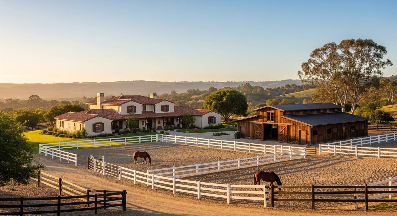
Olivenhain is known for custom homes on large, semi‑rural lots and an active trail culture that welcomes hikers, cyclists, and equestrians. The area’s low‑density character and open space appeal attract lifestyle‑driven buyers who value room to breathe and easy recreation. Public market snapshots often show prices in the multimillion range, although figures vary by source and over time. For any final pricing decision, rely on closed MLS comps specific to your property type.
For a quick primer on the neighborhood and its rural character, review the neutral summary on Olivenhain, Encinitas, California. To explore the official trail network, see the City’s Trails and Open Space page.
Lot utility describes how much of your land is legally buildable, physically usable, and marketable to likely buyers. Appraisers analyze what is legally allowed, physically possible, financially feasible, and most productive for the site, often called highest and best use. If more of your acreage is actually usable for the way buyers want to live, your property usually commands a higher price.
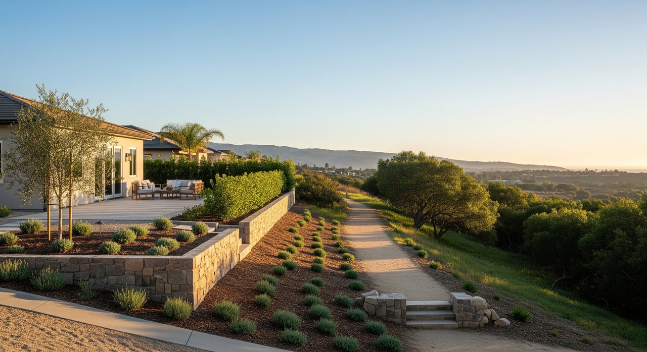
Gross acreage can be misleading. Focus on the net area you can use for a home, pool, barn, accessory structures, and play space. Recorded easements, steep slopes, conserved areas, and setbacks can remove large portions from practical use. This is the acreage buyers will compare when they look at comps.
Steep topography reduces where you can build and raises site work costs. Encinitas limits grading and hillside disturbance, and steeper slopes often require geotechnical studies and may trigger conservation measures. Review local hillside and grading standards in the municipal code and permit guidance, including slope and hillside provisions and the City’s grading permit process.
Development standards determine your buildable envelope. Larger rural setbacks and lot coverage caps limit how big and where structures can go on Olivenhain parcels. Confirm parcel‑specific rules through the City’s eZoning portal and the zoning tables.
Utility corridors, public trail easements, and conservation areas can reduce privacy and usable area. Location matters. A trail easement along a rear boundary may be less impactful than one that crosses the middle of a lot. Document what is recorded so you can price accordingly.
Wastewater service materially affects value and financing. Some Olivenhain parcels are connected to municipal sewer, others use septic or may require a future connection. Verify the provider and service status through the City’s Wastewater Engineering page. If a connection or septic replacement is needed, estimated costs should be reflected in pricing.
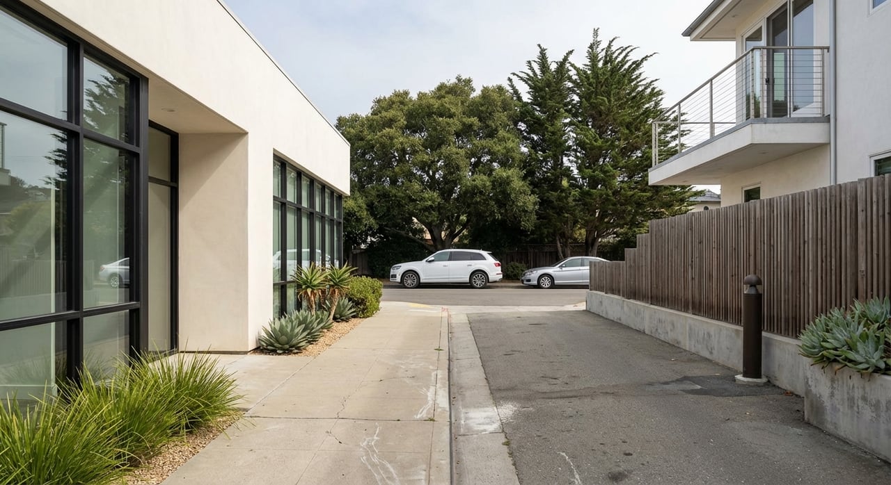
Paved access, reasonable driveway grades, and adequate frontage improve marketability. Community rules also matter. CC&Rs and HOA guidelines can shape what you can build and how you can use the land. Align features with the buyer pool that values them most.
Olivenhain’s trail system is one of the area’s signature amenities. Many buyers seek direct or easy access for daily walks, riding, or views of open space.
Research shows that proximity to passive parks and trails can support a price premium in many markets, though the magnitude varies. Homes near well‑maintained, scenic, and convenient open space tend to see stronger demand. For a research overview on proximity and value, see this review in the Journal of Leisure Research, and the CPRS proximity impact summary.
Being next to a quiet trail segment can be a plus, while adjacency to busy trailheads or small parking areas can introduce noise and privacy tradeoffs. Some studies note the strongest premiums for homes that are near, rather than directly on, high‑traffic recreation nodes. Always compare to comps with the same trail relationship.
Olivenhain includes multi‑use trails with equestrian‑friendly segments. For buyers who keep or plan to keep horses, direct connectivity and usable paddocks or barns can be meaningful. The City’s Trails and Open Space page and the community trail map are helpful starting points to understand access.
Use this step‑by‑step to translate lot utility and trail access into value.
If you are selling, lead with what buyers value: document usable acreage, building envelope, utility status, and how the property relates to the trail system. If you are buying, compare lots by net usability and trail context rather than gross acreage alone. In both cases, clear documentation and comp‑driven adjustments will help you set or evaluate price with confidence.
Curious how your specific property pencils out? Let’s walk the lot together, map the buildable area, confirm utilities, and position the trail story the right way. Connect with Alexandra Crum to get a tailored valuation and a marketing plan that highlights your property’s best attributes.

Alexandra Crum
A trusted real estate agent in Rancho Santa Fe, CA, known for her market expertise and personalized client service. With a background in managing family properties and a passion for real estate, she brings valuable local insight. An equestrian enthusiast, she loves Rancho Santa Fe’s charm and strong community. Outside of real estate, she enjoys design, fitness, and supporting her children's activities.
Stay up to date on the latest real estate trends.

What to Expect During the Buyers Home Inspection Process in Rancho Santa Fe.

How to Time the Market When Selling a House in Rancho Santa Fe.

Sophisticated Interior Design Styles in Rancho Santa Fe for Luxury Homes.

Strategic Improvements and Value-Adding Home Upgrades for Rancho Santa Fe.
My mission is to provide you with exceptional service and results that exceed your expectations.